Constraining a Fault Avoidance Zone (FAZ)
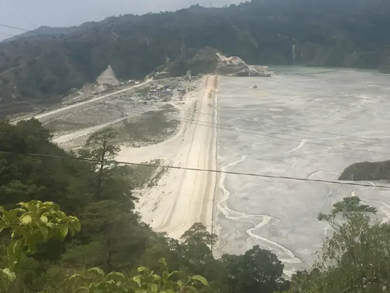
A residential client from the Taupō Volcanic Zone wanted to construct a building but their desired location was within a Fault Avoidance Zone (FAZ). An FAZ is a buffer zone on or close to an identified or suspected active fault.
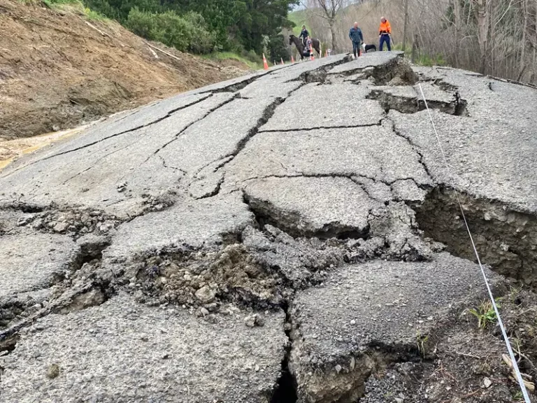
GNS Science assessed that the fault has an average recurrence interval of 600 years and was mapped with an uncertain fault trace location and uncertain constrained FAZ. In accordance with GNS recommendations and MfE (2003) guidance, the FAZ width may be reduced by constraining the fault trace location.
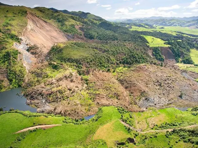
RDCL deployed two surface geophysical techniques (ERT & GPR) to constrain the fault trace location within an uncertain FAZ. The ERT indicated horizontal variation electrical resistivity and a vertical feature that coincided with the fault scarp and anticipated fault trace location.
RDCL then established an area of uncertainty in the vertical feature to account for the variability in the data. This allowed RDCL to reduce the area of uncertainty in the fault trace location.
RDCL imaged the fault trace location and reduced the constraints of the FAZ allowing the client to safely build in an area previously deemed not permitted.
Geophysical: Ground Penetrating Radar (GPR), Electrical Resistivity Tomography (ERT).
Geotechnical: Site Investigation using various shallow investigation tools.