Ground Penetrating Radar (GPR) Surveys
Ground Penetrating Radar (GPR) can see into the structure of the ground to provide accurate information concerning the depth to subsurface features, objects, as well as the interfaces between contrasting geological layers.
This is important to assess what lies beneath the ground or concrete surface before undertaking work, be it related to flood damage, buried surface features, or ground and concrete integrity.
Ground Penetrating Radar (GPR) provides a non-intrusive and non-destructive way of surveying the sub-surface. This ability enables the mapping of layer boundaries to determine their thickness and to spot anomalies associated with subsidence or erosion, which could indicate the formation of cavities or problematic sinkholes as well as risk-zones for landslides.
GPR is a valuable survey technique to investigate many materials such as ground, concrete, masonry, and asphalt.
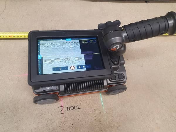
A GPR transmitter emits pulses of electromagnetic energy into the subsurface. Changes in the sub-surface are detected based on differences in permittivities. When a change in the sub-surface is encountered, some of the electromagnetic energy is reflected back to the surface. This is detected by a receiving antenna, and variations in the return signal are recorded. The information is displayed on a radargram.
Antenna selection is important. RDCL has a range of three antennae that give us the ability to swiftly and accurately scan deeper ground structure through to surface-level concrete scanning.


